IFIT Montessori
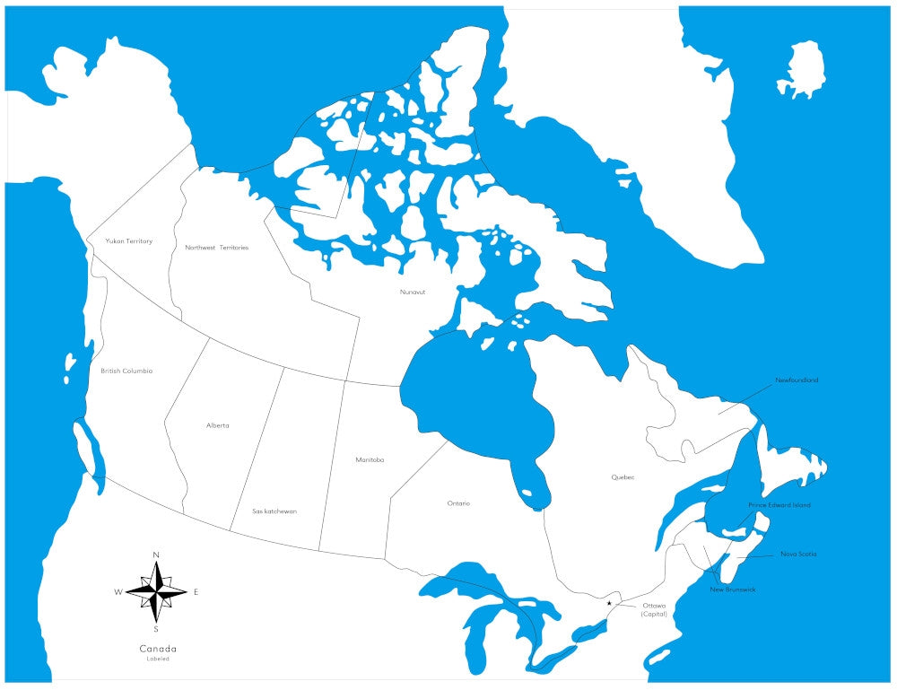
Labeled Canada Control Map
Labeled Canada Control Map
SKU: SKU:GEO-009-B
Regular price
$5.00 USD
Regular price
$5.00 USD
Sale price
$5.00 USD
Free shipping over $300 within Canada or to the USA.*
Quantity
In stock
Couldn't load pickup availability
This control map is labeled with the provinces and territories of Canada. Land areas are shown in white and water areas are blue.
Makes a great companion to our Canada Puzzle Map.
We also have Canada Flashcards (PDF), Maps 3-Part Cards (PDF), Flags 3-Part Cards (PDF) and Capital Cities 3-Part Cards (PDF) for working with this map.
Features
- Map measures 53.5 cm x 41 cm.
- Printed on heavy cardstock.
Recommended ages: 3–6 years.
